Monday, April 25, 2016; AT Mile 131.4
------------------------------
Walked from 124.2 to 134.3 plus 0.50 adjustment or 10.6 miles.
Started 07:14 AM, stopped 03:16 PM.
Ave mph was 1.32, excluding lunch.
Battery used: 13 percent
------------------------------
I made reservations at the Nantahala Outdoor Center (NOC) for tomorrow so I stopped early. Six miles downhill to the NOC. Good thing I stopped, my heel was very tight the last 2 miles. I really think I overdid it yesterday with the 17 miles.
Tomorrow is food!!!
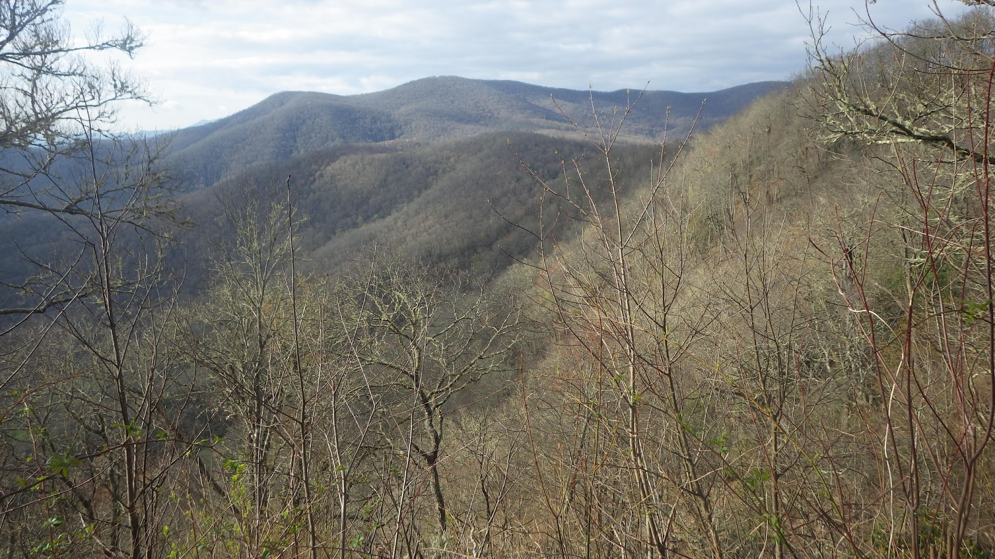
Today was intermittent cloud and sun. Good views at the Rocky Bald and then the Wesser Bald tower. Some ups and downs, think I was just beat from yesterday.
Wanted to comment on a couple of other hikers yesterday. One thru (?) didn't stop for the dogs and day hikers at the stream. Another just marched by later with a grumble. These folks seem to be intent on high miles and won't socialize. Most will say hello in passing and talk if you happen to stop. Everyone I've talked to seems nice.
Even this afternoon. My heel was bothering me and someone coming up the hill behind me was playing music loudly. Most wear earphones. When the guy caught up to me at the tower I asked about the music. They didn't play it again and he was very nice later at the water.
I also wanted to comment on the inReach Explorer. I've been uploading my campsites daily. Hope it's showing up on the Locate Cipher page. But it sometimes takes up to 10 minutes to upload a waypoint name and a coordinate. It appears to switch between multiple Iridium satellites during the attempt. My suspicion is the low-earth orbit satellites often aren't in view long enough for a good hand-shake and data upload. Maybe their capacity is being exceeded?
Since I will be able to recharge tomorrow I'm going to try photo uploads. I'll stop though if I get down to 40% battery. Have a good day!


No comments:
Post a Comment