Sunday, July 26, 2015

Colorado National Monument and Rattlesnake Arches Trail

Colorado National Monument & the Rattlesnake Arches Trail
Thursday, July 16, 2015

My wife, I, and my sister went out to Palisade, CO on Tuesday the 15th.  My wife and sister were planning to do the wine country tours the next couple of days in Palisade, which has 20 wineries.  My brother-in-law and nephew were going to join us on Wednesday, and the three of use were planning to camp and hike for a couple of days.  Palisade is just a few miles from Grand Junction, Fruita, and the Colorado National Monument.  Except for the monument, most of the land around this area seems to be forest service.  In this and the next post, you will see some of the hiking opportunities.

I stayed with the ladies for some wine tasting Tuesday afternoon.  Then on Wednesday, we went to the Mesa County Fair in Grand Junction.  It was a nice fair with the usual 4-H exhibits, animals, food, entertainment and rides.

When the guys arrived, around 4:00 pm on Wednesday, we took off to set up our tents in Saddlehorn campground in the Colorado National Monument.  The plan was to do that quickly, then return for the tractor pull at the fair.  Alas, we encountered some difficulties.  The campground was just south of Fruita and took about 35 minutes to get to.  Our site wasn't flat!  But we couldn't find the host to try and change sites.  I had paid early for a two-day reservation, and didn't want to lose my deposit.  So we set up our tents on the least sloped areas.  But it was mostly rock with a little sand.  So no staking.  I found rocks to pile on my stakes that seemed good enough.  But the wind came up while we were setting up, pretty strong, and caused us to use more anchors than our initial set.  Then a rainstorm came in while we were only half through setting up.  It didn't stop.

We ended up driving into town to eat.  We were a little too late to see the tractor pull, and we weren't sure it would even be held in the rain and lightning storm that continued till about 8:00 pm.  Here's a shot of my tent showing some of the rocks I used to stake it out.
The next morning, we got an early start for the 15.5 mile hike on the Rattlesnake Arches Trail.  The trail head is just north of the Monument very close to the Colorado River.  This was the first time for all of us for hiking in this terrain.  The blogs I had read indicated no water (correct), a little bit of climbing, and a long hot day.  In my opinion, they were only partially correct.

There are a couple of trail heads.  The one closest to the seven arches requires a high-clearance, four wheel drive vehicle.  We didn't have one of those, so we took the long way in.

My expectation was a clearly marked trail with lots of ups and downs.  I had a one-page printed topo map, my inReach Explorer for track logging, and my iPhone set up with Gaia Pro and a downloaded GPX track of the trail.  This was my first time using Gaia Pro while hiking, I've been using other apps.  Gaia wouldn't access the GPS receiver in airplane mode.  I had to turn off airplane mode every time I wanted to see our position.  That ate battery like mad.  Worse, I had inadvertently left the cellular radio on the night before and I was starting with only 62% battery.  To save battery, we checked our position with Gaia only once in a while.

That turned out to be a bad approach to this trail.  Many of the downs seemed to be down steep canyon walls.  And there were only the occasional cairn to show the way for those descents.  Plus, people had set up cairns for other 'trails' and there were other paths that looked as widely used as the trail to the arches.  We had trouble staying on the trail soon after the human/horse trail options split.  We didn't take the horse trail option (said to be more scenic but longer), which turned out to be a bad mistake.

The first steep descent was marked with cairns.  Looking down the canyon sides, it looked like more cairns followed a slip rock ledge around the canyon down a ways.  It looked dangerous.  And a trail continued around the top edge of the canyon.  We followed the trail.  What we found on the return was that the descent actually doubled back on a reasonable climb down.  But we didn't see that.  We took the path along the top until we found a place to descend at the head of the canyon (bushwhacking).  It was fun, but hot, tiring, and time consuming.  Here's the plot of our whole day's walk.
The trail head was in the upper right corner, near the river.  The section where the trail diverges shows our bushwhack on the way out, and the real trail on the way back.

Our furthest point out was following cairns and a path that was quickly diverging from the real trail.  When we finally checked Gaia, and walked back to where we had left the trail, we found a steep descent.  I figure this is where the blogger estimated 3.5+ climbing down.  I'm not real comfortable with heights, and I had a heavy (25 lb) pack for training.  Plus, it was now 1:30 pm, and if we continued to the arches, we would have only been 1/3 through the whole trail.  I recommended we abort and perhaps take some short hikes in the Monument for the rest of the evening.  We did stick to the trail on the way back.  And I got back with 7% iPhone battery.  We got to the trail head around 4:00 pm.  I should also mention, my nephew is 12.  So we didn't go too fast, mainly to allow him time to have fun on the trail.

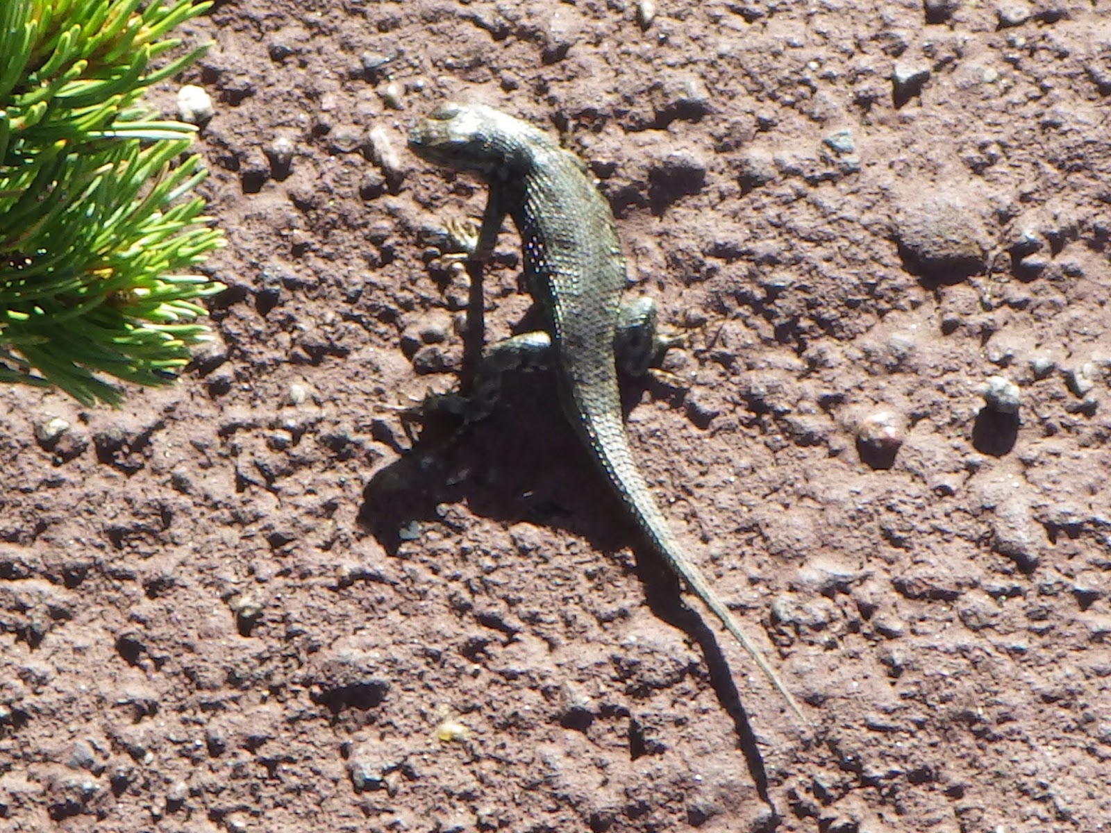
The scenery is fantastic.  Here are some shots from the trail that include my brother-in-law and nephew.


We also saw a collared lizard (?) with bright colors.
The Colorado National Monument has some very impressive canyons, monuments and landscape.  Plus some bighorn sheep along the road.  We brought the ladies out and drove them along Rimrock Drive until about 7:20 pm.  Here's a map of the monument and the drive.
And here are some shots of the canyons and monuments on the drive.


I wanted to highlight the content of this next shot.  They said it looks like a mummy.  To me, more like a sarcophagus.  Also, just a few feet walk around the rim, you come to an echo area.  The echos are fantastic and there seems to be little signal loss in the return.

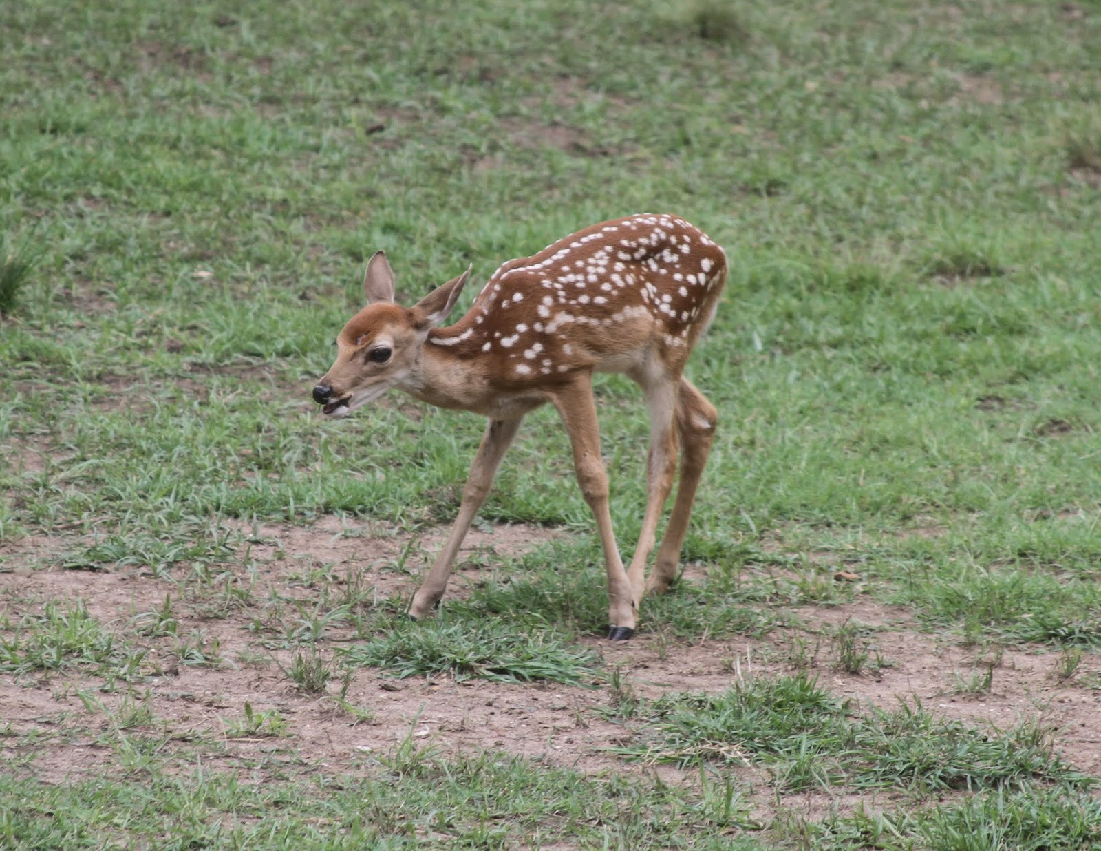
The next two shots of sheep were taken earlier with my iPhone, so the quality isn't as good.

I would highly recommend both the drive and the hike to anyone in this area.  If I get a chance, I would like to try the Rattlesnake Arches Trail again, this time taking the horse trail option.  :-)

Have a good day!

Cheyenne Mountain Zoo

Cheyenne Mountain Zoo, Monday, July 13, 2015

We needed something to do before heading out west later in the week for hiking and other various activities.  My wife had learned about the Cheyenne Mountain Zoo in Colorado Springs and it sounded pretty interesting.  My sister took a day off and came along.  It took them a while to get up and ready, so with the rather long drive, we didn't get there till about noon.  The zoo closes at 5:00 pm and it takes 4 to 5 hours to see everything.

The zoo admission includes access to a monument a mile up the road, through the zoo.  But the road access is closed at 4:30 pm.  We waited till we were about to leave to do it, not aware of the early closure time.  So we didn't see the monument except from a distance.

The zoo is built into the hillside, as its name might suggest.  And it gives you a good day of walking to see all the exhibits.  There's also a lift that goes up to the top of the zoo grounds.  It's an extra fee, but probably worth it.  You get a really nice view of the city and countryside.

Here's a map of the zoo:
We took the lift early in case rainstorms came in that were threatening.  Here's a couple of shots from the lift:
We started the tour with the yellow zone, Africa.


Their giraffe section has a lot of giraffe's.  When I get home, I'll post all the photos in a slideshow.  But I also wanted to highlight that they had a breeding bull separated from the others.  Here's a shot of him from up close.
From Africa, we went into the green zone highlighting Australian animals.  Here are a few of those photos.  Forgive me if I mix up some of the regions! 


I think reptiles were next, so here are those shots.


We stopped somewhere around here to eat at their main restaurant.  You should be warned about the prices.  They are not subsidized, so you pay for all zoo operations, including when buying food and drink.  Except for a slice of pizza, I did not see any lunch items under $10.  You might want to consider bringing your own water if you are on a tight budget.

I think the Asian Highlands section was next.  But if I remember correctly, most of the viewing windows were too poor to get good photos through.  Most of my next set of photos came from the American section.


When we got to the hippos, my Ricoh WG-4 camera battery died.  I had to switch to the iPhone for the inside shots of the hippos and for the monkey/ape section.  I almost never use my iPhone for pictures, and those came out terrible with the animals pretty uniformly dark.  So you won't see those photos here.  I will say though that the monkey/ape section was fantastic, like most of their displays.

I like zoos, animals, and photographing them.  For me, this was a terrific day.  I ought to mention that in the past I've always used Canon DSLR's.  I love the ability to use the full zoom on those cameras.  If I wasn't on a trip with some hiking, I would have brought the Canon.  The Ricoh is nice, but it's pretty limited in it's zoom ability.  On the other hand it is waterproof and I don't have to worry about protecting an expensive camera (though the Ricoh isn't that cheap either).

Have a good day!


Capulin Volcano National Monument

Visit:  Sunday, July 12, 2015, Capulin Volcano National Monument, NM

We decided to take a family vacation, visit my sister up near Denver, and do some outdoor activities along the way.  My wife isn't a hiker, and she has some difficulties with altitude, so the next couple of weeks won't be any intensive backpacking.  And we'll do a bunch of things that won't be covered in this blog.

But today we did a couple of short hikes at the Capulin Volcano in New Mexico.  They say the last eruption was about 60,000 years ago, so most of the rock is covered now with vegetation and small trees.  The base of the volcano is around 7250', and the peak is around 8280'.  But they have two loops at the base, the one mile Lava loop and a two mile Boca loop.  There is a paved trail around the top of the volcano (1 mile) and a short paved trail into the cone (0.2 miles).  The only way up for visitors is by the paved road that circles the volcano.  We did the trails at the top and the Lava loop at the bottom.  I figured it was about perfect for my wife.  The trail up at the top has a bit of up and down, but its only difficult if you have trouble with the altitude.  Here's a shot of the logged trail from my Explorer.
The paved trails at the top were a bit of a disappointment.  But understandable given how busy the site is and how many people they have going around.  Actually, it was nice pavement for hiking:  rough and not too wide.  They say you can see three or four states.  But I didn't pay too much attention to the plaques with the horizon descriptions.  There's another, pretty flat volcano, I think towards the east.  And some mesas in the other direction.  But really the landscape is not very rugged around the volcano.

Here's a shot of the volcano from the lava trail.
And here's one of the plain towards the south from the Lava trail.
 Here's a few shots from the rim of the volcano.


We saw a bunch of lizards, maybe one marmot or groundhog (wife only, so I cannot confirm).  Here's a shot of a lizard that seemed to pose for a shot right at my feet.
And that's about it for the volcano.  If you have a couple hours, its a very nice place to visit.


Friday, July 3, 2015

Feeding Deer

It looks like the timing of my next hike is changing.  But in the meantime, I wanted to post a photo or two showing the local deer.  My wife bought a deer feeder a couple of years ago (they are legal here), and set it up in our large back yard.  We now seem to have over 30 deer each day expecting food.  By the way, we don't use the feeder as preparation for hunting.  It's only because my wife likes deer.

Some things to think about if you are thinking of purchasing a deer feeder.  First, you have to keep them operating.  Battery replacement is a minor nuisance, but they don't last forever.  Worse was the damage from raccoons.  They tore up the shield around the motor and damaged the motor to get at the corn.  My wife has trapped and relocated probably half a dozen raccoons.  We actually had to replace the feeder since the company stopped supporting the model we had and we couldn't get replacement parts.  The new one has a 20 year warranty.  Great if the company stays in business.

Then you have to buy and load bags of corn.  It takes lots of corn.  And the corn isn't that cheap.

Then you have the damage to your yard.  The area around the feeder is totally devoid of plant life.  While we were between feeders, my wife fed them daily by hand around the yard.  Grass is pretty scarce in several large areas.  And with the good weather, the herd(s) seem to sleep around the yard.  There is deer scat everywhere!

Finally, every time you open the garage doors, you get a herd of deer slowly approaching waiting and hoping for corn.  Your wife will name many of them and claim to be able to recognize them as individuals.  I don't have any idea how to reverse this situation, unless we happen to go bankrupt!

On the bright side, the deer are interesting to watch, especially the fawns.  Here are a few photos.  I didn't include the large herd shots, as it just looks like a crowd of deer.