I plan to use several apps while on the trail this year. My Hikers Assistant app will be my primary app. It has my routes (primary and alternate), Bear Creek waypoints, water report waypoints, and resupply waypoints. I have USGS topo and imagery basemaps as well as Open Cycle, Open Street (for towns), and Thunderforest Outdoors.
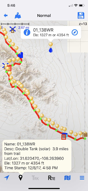
To test out posting photos, here is an image from the start of the trail in Hikers Assistant.
I separated the Bear Creek maps into sections between Resupply points, and loaded those pdf’s into GoodReader. I really liked the new ContinentalDivideTrailCoalition.org’s new maps better than the Bear Creek maps. But the Bear Creek maps have the corresponding, helpful waypoints.
I separated Yogi’s town guides into pages, and loaded any critcal sections into Scanner Pro folders.
For the Jonathan Ley maps, I downloaded those in the Avenza app. Those are the older 2016 versions, but they should provide some good info on alternates.
I also have the Guthook app loaded with the CDT which should help with water planning on the sections not covered by the water report.
I created a resupply spreadsheet in Excel and loaded that on the iPhone via Microsoft’s OneDrive. Actually, all my data files, except Excel, are saved in iCloud in addition to locally on my iPhone.
I will also have Gaia (for detailed area maps) and Earthmate to communicate via my Delorme inReach Explorer.
Finally, I’m considering taking my older iPhone as a backup to my larger, newer iPhone.
No comments:
Post a Comment